|
|
|
|
|
|
|
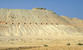
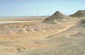
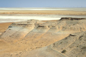
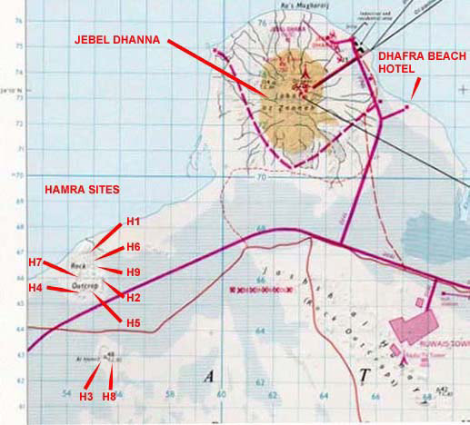
These sites can easily be seen from the main Abu Dhabi to As Sila road. Site H1 (N 23 06' 50.6" E 52 31' 31.0") the northern area of an east facing cliff, part of which is a disused (except in 2001) firing range, where Pachyportax latidens was found (Gentry, 1999b). From the area comprising the flat top of this cliff, German archaeologists (Vogt et al., 1989) collaborating on a survey with the Al Ain Museum in 1983, found
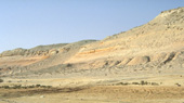
Site H2 (N 23 06' 06.9" E 52 31' 42.5") is the southern part of the escarpment.
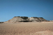
Site H3 (N 23 04' 28.7" E 52 31' 37.3") a badly weathered proboscidean skull was found here but not collected.
Site H4 (no GPS) the site no longer exists as it is now a military area. Here, Plesiogulo praecocidens (Barry, 1999) was discovered in 1989.
Site H5 (N 23 06' 04.7" E 52 31' 38.5") is a palaeomagnetic sampling site (Hailwood and Whybrow, 1999) and a palaeosol carbonate nodules collecting site (Kingston, 1999).
Site H6 (N 23 06' 43.7" E 52 31' 28.2") lies near to the top of the jebel.
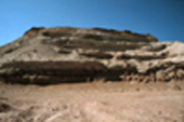
Site H7 (N 23 06' 00.0" E 52 31' 55.9") the area around a UAE Trignometrical Survey point (now demolished) on the northern Hamra jebel
Site H8 (N 23 04' 24.4" E 52 31' 45.6", TC 85 survey point; UK Ministry of Defence Survey Map, 1:100,000, NG-39-167, 1988). Jebel Al Hamra Trignometrical Survey point
Site H9 (N 23 06' 08.2" E 52 31' 28.2") a place with many pieces of heat shattered flint once thought by palaeontologists to have been man-made (McBrearty, 1999) |
![]()
[ Fossil
index - ADIAS home
]